

Northwest Passage
CRUISE ID # AURORANWP011S
Reykjavík TO Calgary, Alberta
$22,156
WITH SPECIAL SAVINGS APPLIED
FARES SHOWN ARE PER GUEST
Suites & Fares
CHOOSE START DATE
: August 30, 2028
Itinerary
Sprawling Reykjavík, the nation's nerve center and government seat, is home to half the island's population. On a bay overlooked by proud Mt. Esja (pronounced eh-shyuh), with its ever-changing hues, Reykjavík presents a colorful sight, its concrete houses painted in light colors and topped by vibrant red, blue, and green roofs. In contrast to the almost treeless countryside, Reykjavík has many tall, native birches, rowans, and willows, as well as imported aspen, pines, and spruces.Reykjavík's name comes from the Icelandic words for smoke, reykur, and bay, vík. In AD 874, Norseman Ingólfur Arnarson saw Iceland rising out of the misty sea and came ashore at a bay eerily shrouded with plumes of steam from nearby hot springs. Today most of the houses in Reykjavík are heated by near-boiling water from the hot springs. Natural heating avoids air pollution; there's no smoke around. You may notice, however, that the hot water brings a slight sulfur smell to the bathroom.Prices are easily on a par with other major European cities. A practical option is to purchase a Reykjavík City Card at the Tourist Information Center or at the Reykjavík Youth Hostel. This card permits unlimited bus usage and admission to any of the city's seven pools, the Family Park and Zoo, and city museums. The cards are valid for one (ISK 3,300), two (ISK 4,400), or three days (ISK 4,900), and they pay for themselves after three or four uses a day. Even lacking the City Card, paying admission (ISK 500, or ISK 250 for seniors and people with disabilities) to one of the city art museums (Hafnarhús, Kjarvalsstaðir, or Ásmundarsafn) gets you free same-day admission to the other two.
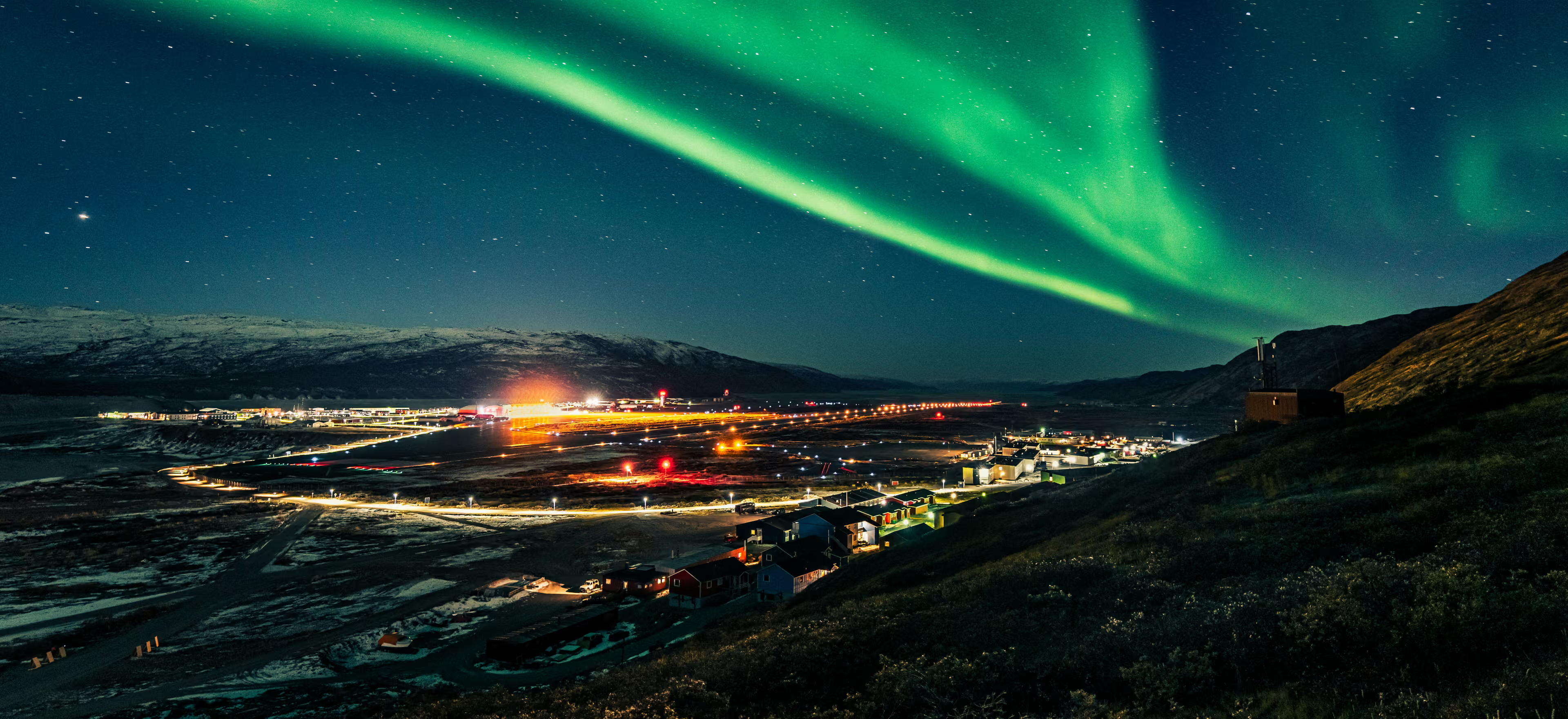
The name Kangerlussuaq means "Big Fjord" in the local Kalaallisut language. The settlement of about 500 people is located in western Greenland on flat land at the head of a fjord with the same name. Kangerlussuaq is the site of Greenland's largest commercial airport and most of the economy here is dependent on the air transportation hub and tourism. The rugged lands around the settlement support terrestrial Arctic fauna including muskoxen, caribou, and Gyrfalcons.
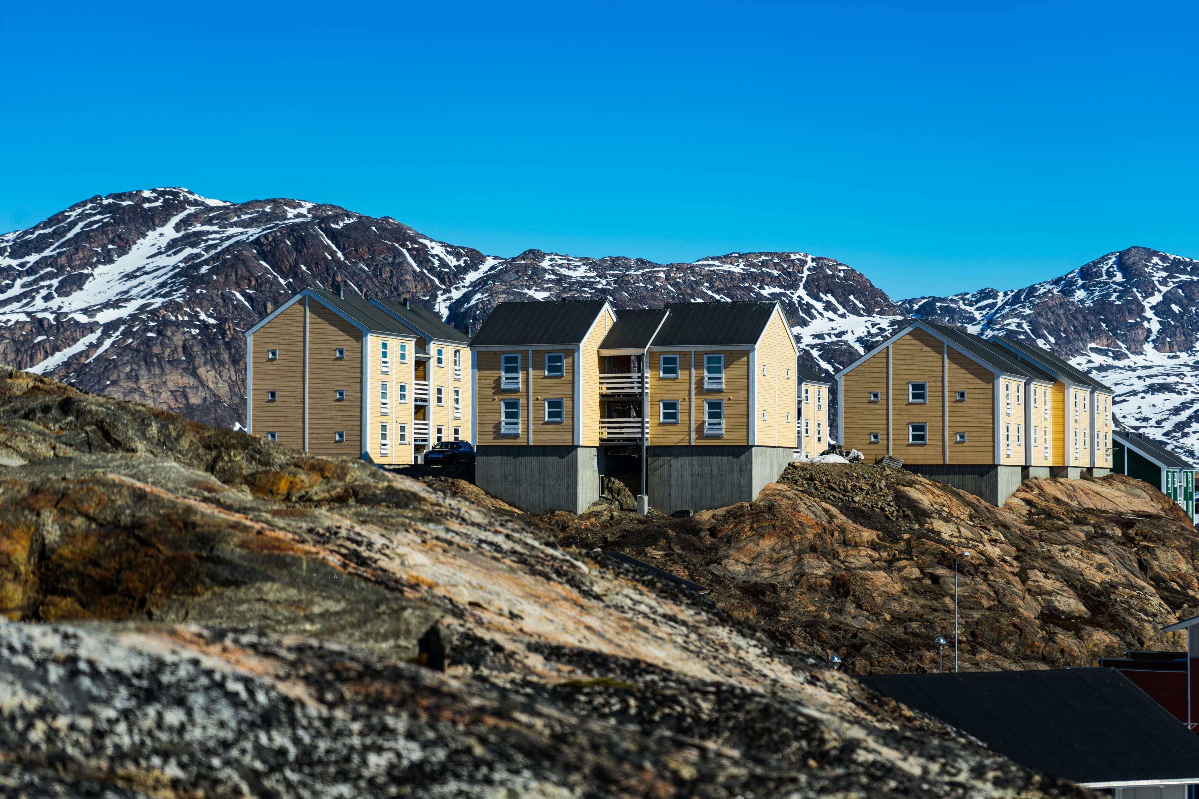
Located just north of the Arctic Circle, Sisimiut is the northernmost town in Greenland where the port remains free of ice in the winter. Yet it is also the southernmost town where there is enough snow and ice to drive a dogsled in winter and spring. In Sisimiut, travelling by sled has been the primary means of winter transportation for centuries. In fact, the area has been inhabited for approximately 4,500 years. Modern Sisimiut is the largest business center in the north of Greenland, and is one of the fastest growing Greenlandic cities. Commercial fishing is the lead economy in the town‘s thriving industrial base.
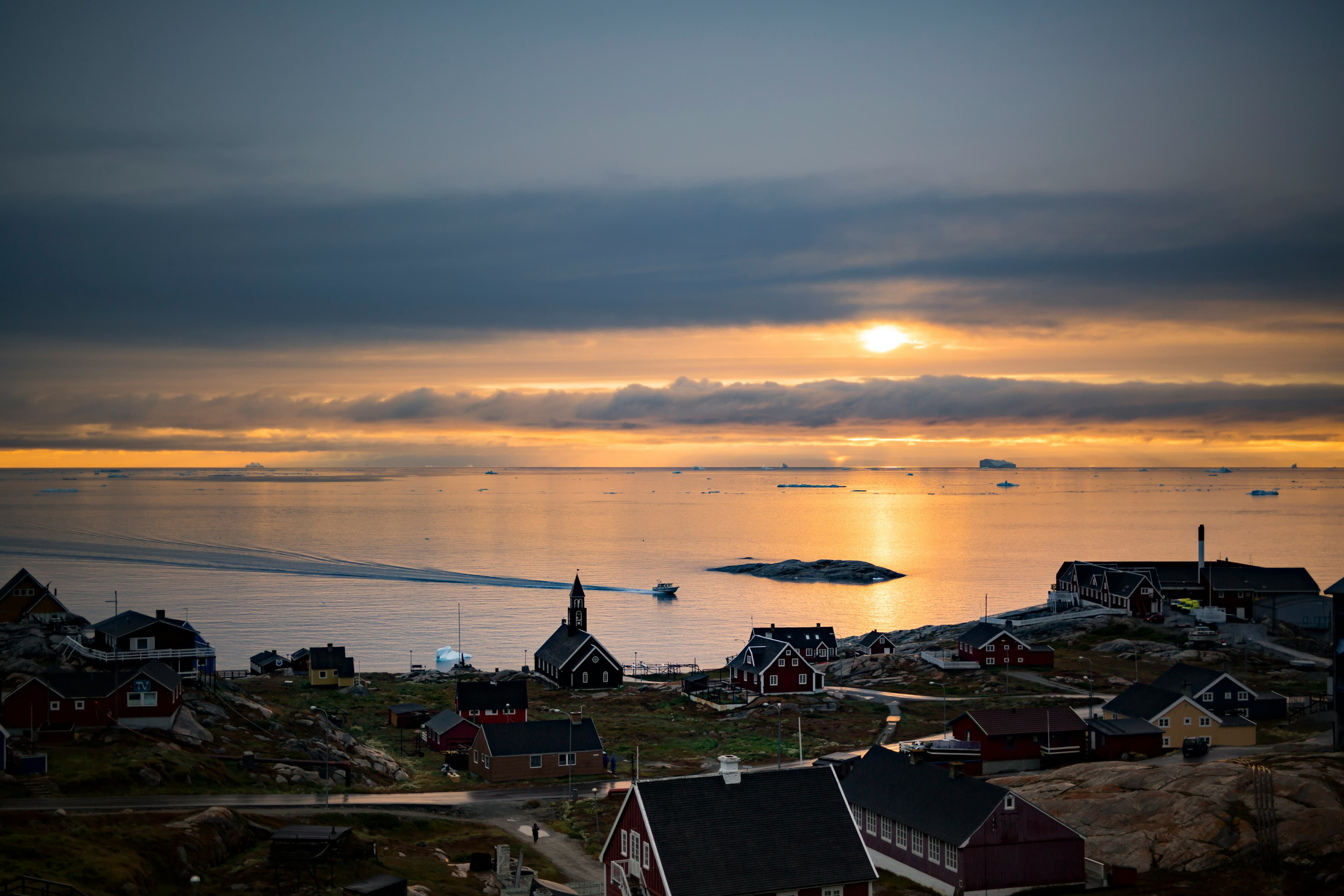
Known as the birthplace of icebergs, the Ilulissat Icefjord produces nearly 20 million tons of ice each day. In fact, the word Ilulissat means “icebergs” in the Kalaallisut language. The town of Ilulissat is known for its long periods of calm and settled weather, but the climate tends to be cold due to its proximity to the fjord. Approximately 4,500 people live in Ilulissat, the third-largest town in Greenland after Nuuk and Sisimiut. Some people here estimate that there are nearly as many sled dogs as human beings living in the town that also boasts a local history museum located in the former home of Greenlandic folk hero and famed polar explorer Knud Rasmussen.
Aappilattoq is a small settlement near the western end of Prins Christian Sund in southwestern Greenland. In the local Greenlandic language the name means, "sea anemone". This small village of 130 inhabitants, hidden behind a prominent rock, offers a good insight into the life of Greenlandic Inuit. A stroll through the village will reveal a small school and a church, along with the likely possibility of seeing a polar bear skin drying in the wind behind a local dwelling. People have lived off the land in the area around Aappilattoq since the 19th century. The tradition continues today as most people here hunt and fish to make a living.
Located in northern Baffin Island, Pond Inlet is a small, predo¬minantly Inuit community, with a population of roughly 1,500 inhabitants. In 1818, the British explorer John Ross named a bay in the vicinity after the English astronomer John Pond. Today Pond Inlet is considered one of Canada's "jewels of the North" thanks to several picturesque glaciers and mountain ranges nearby. Many archaeological sites of ancient Dorset and Thule peoples can be found near Pond Inlet. The Inuit hunted caribou, ringed and harp seals, fish, polar bears, walrus, narwhals, geese, ptarmigans and Arctic hares, long before European and American whalers came here to harvest bowhead whales. Pond Inlet is also known as a major center of Inuit art, especially the printmaking and stone carving that are featured in the town’s art galleries.
Dundas Harbour is located in the southeast of Devon Island, Canada’s 6th largest island. It is a forlorn but starkly beautiful spot. The island was first sighted by Europeans in 1616 by the English explorers Robert Bylot and William Baffin. But it did not appear on maps until after explorer William Edward Parry’s exploration in the 1820’s. Parry named it after Devon, England. In the local Inuktitut language, the place is called Talluruti, which translates as “a woman’s chin with tattoos on it.” This refers to the deep crevasses and streaks on Devon Island, which from a distance resemble traditional facial tattoos. On land there are remains of a Thule settlement dating back to 1000 A.D., including tent rings, middens and a gravesite. There are also much more recent remains a Royal Canadian Mounted Police outpost. The first post was established in 1924 to monitor and control illegal activities, such as foreign whaling, in the eastern entrance to the Northwest Passage. But conditions were so isolated and severe that the post was abandoned in 1933. It was reopened in 1945, but again closed, this time permanently, in 1951. Today, Devon Island is the largest uninhabited island in the world.
Prince Leopold Island (Appait) rises abruptly from Lancaster Sound. Its cliffs form one of the Canadian Arctic’s most important seabird breeding sites; by September many birds may already have departed, but northern fulmars, kittiwakes and thick-billed murres can still be seen offshore. Seals in the surrounding waters may also attract polar bears.
Across the sound, Port Leopold recalls the many expeditions sent in search of Sir John Franklin. HMS Enterprise and HMS Investigator wintered here in 1848–49, and the remains of later commercial activity add further layers to the site. If conditions permit, we hope to walk the coast and consider this history alongside evidence of Inuit presence that long predates the explorers.
Beechey Island is a small island off the southwest coast of Devon Island, separated by a narrow waterway called the Barrow Strait. Captain William Edward Parry was the first European to visit the island in 1819. His lieutenant, Frederick William Beechey, named the island after his father, the artist William Beechey (1753–1839). Beechey Island played a significant role in the history of Arctic Exploration. During the winter of 1845-46, Sir John Franklin and his men camped on the island as part of their ill-fated quest to find the Northwest Passage. Mummified remains of three of Franklin’s crew were discovered, giving a better understanding of what happened before the disappearance of the expedition. In 1850 Edward Belcher used the island as a base while surveying the area. Later, in 1903, Norwegian explorer Roald Amundsen stopped at the island at the beginning of his successful voyage in search for the Northwest Passage. Subsequently, Beechey Island has been declared a "Territorial Historic Site" since 1975 by the Northwest Territories government
Devon Island is Canada’s sixth largest island and was first seen by Europeans in the early 17th century. The Thule culture had already settled there many centuries before, and left behind qarmat homes, made of rocks, whale bones, rock and sod walls, and skins for roofs that tell a story of over 800 years of human habitation. Other striking finds in this area are the many fossils of corals, crinoids and nautiloids that can be seen. Just across Lancaster Sound is Prince Leopold Island, a Canadian Important Bird Area, a federally listed migratory bird sanctuary, and a Key Migratory Bird Terrestrial Habitat site with large numbers of Thick-billed Murres, Northern Fulmars and Black-legged Kittiwakes that breed there.
Bellot Strait is one of the most dramatic and technically challenging waterways in the Northwest Passage. Barely two kilometres wide at its narrowest point, it separates Somerset Island from the Boothia Peninsula and is swept by strong tides and shifting ice. Our transit and activities will depend entirely on safe conditions.
We hope to explore in the vicinity of Fitzroy Inlet, Bellot Strait or Strzelecki Harbour. These sheltered waterways and austere shores invite Zodiac cruising and tundra walks, while their position at the northern edge of mainland North America evokes the navigational challenges faced by earlier expeditions. We will watch for polar bears, seals, beluga and seabirds along the ice edge and coast.
An early visit to Pasley Bay may connect us with the story of the RCMP schooner St Roch and its pioneering Northwest Passage voyages under Henry Larsen. Inuit knowledge, local assistance and Arctic seamanship were essential to such journeys, just as they remain central to safe travel here today.
Later, we continue west through the maze of channels around Prince of Wales and Prince William islands. If conditions allow, a Zodiac excursion may take us towards a remote cairn or unplanned landing. These unscripted opportunities are at the heart of expedition travel, with the possibility of wildlife sightings and traces of earlier journeys revealed by the day’s route.
As we sail towards Victoria Island, join the Expedition Team for presentations on Inuit archaeology, polar exploration and the wildlife of the western Arctic. Time on deck may bring sightings of seals, whales or migrating birds.
Later, we hope to visit Iqaluktuuttiaq, or Cambridge Bay, whose Inuinnaqtun name means ‘place of many fish’. This important western Nunavut community has long been a gathering place, supported by rich fishing and hunting grounds. Its more recent polar history includes Roald Amundsen’s ship Maud, which spent years in the area after becoming trapped in ice and eventually sank in the harbour. A community visit offers insight into contemporary Inuit life and the enduring connections between people, land and sea.
Our final full expedition day takes us into the western channels of the passage. We hope to explore around Cape Barrow and a remote island to its north, where low tundra, gravel ridges and broad sea views create opportunities for a final landing or Zodiac cruise. Musk oxen, Arctic foxes, seals and passing whales may be present, while the open landscape encourages reflection on the distances travelled by Inuit families, traders and polar expeditions.
Tonight, gather with fellow travellers and the Expedition Team to celebrate a journey shaped by ice, history and the many communities and cultures of the Arctic.
In Kugluktuk, farewell the crew, Expedition Team and fellow travellers before transferring to the airport for our charter flight to Calgary. The voyage concludes on arrival at Calgary Airport.
Note: Our arrival time in Calgary depends on the allocated charter-flight slots, which we expect to receive in March 2028. We recommend allowing flexibility when arranging onward travel.
About the Ship
Name
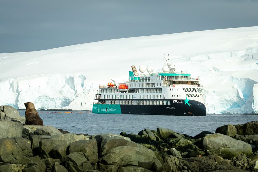
Sylvia Earle
Operator
Aurora Expeditions

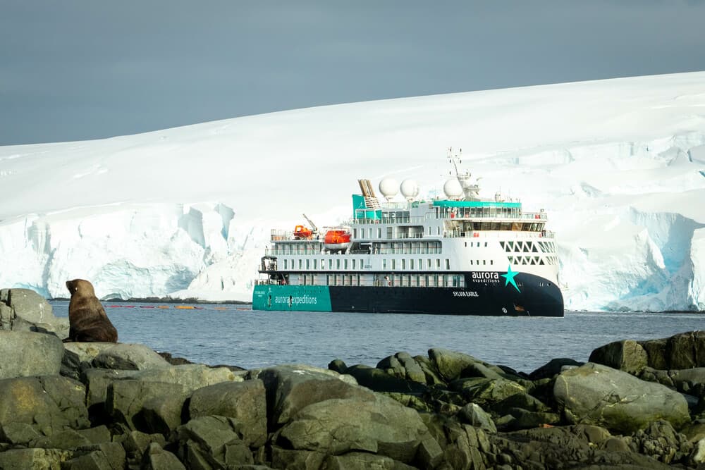
A floating ambassador for the planet.
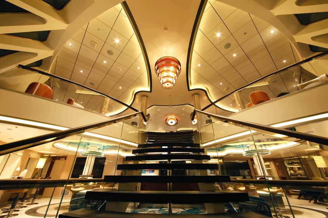
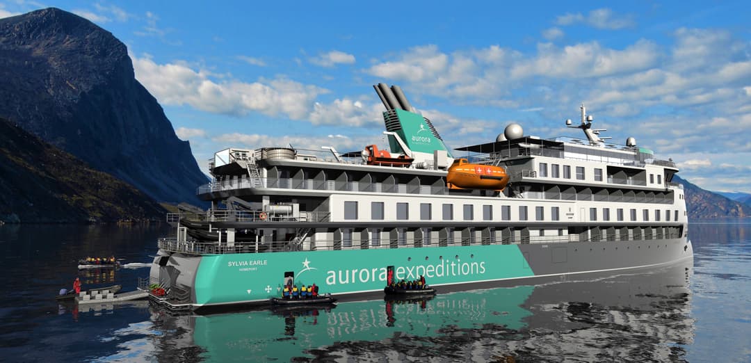
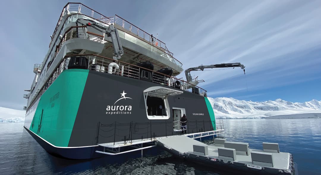
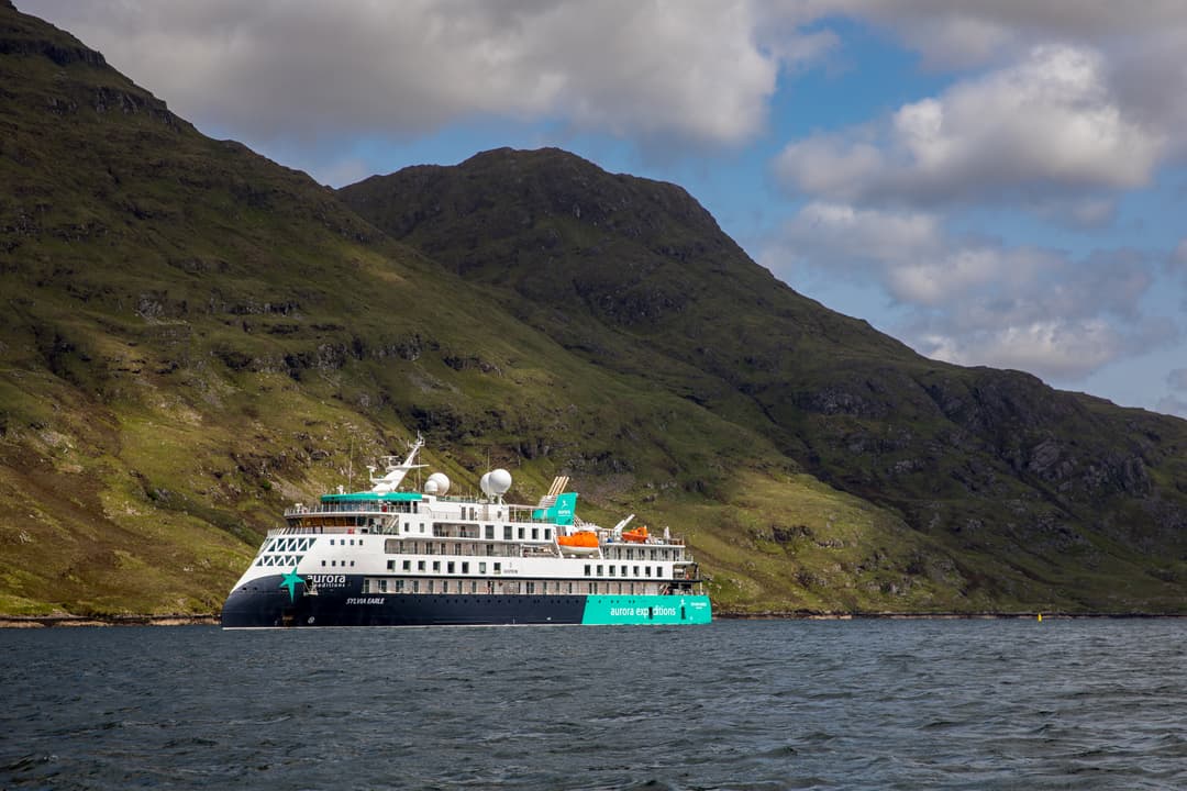
On our small purpose-built ship, the Sylvia Earle, connect with like-minded travellers in a meaningful way on perspective-altering voyages to some of the most remote, unique and spectacular places on the planet. Featuring the Ulstein X-BOW® design, it cuts through the swell for a smoother transit through waves while minimising its environmental impact.
Loading...
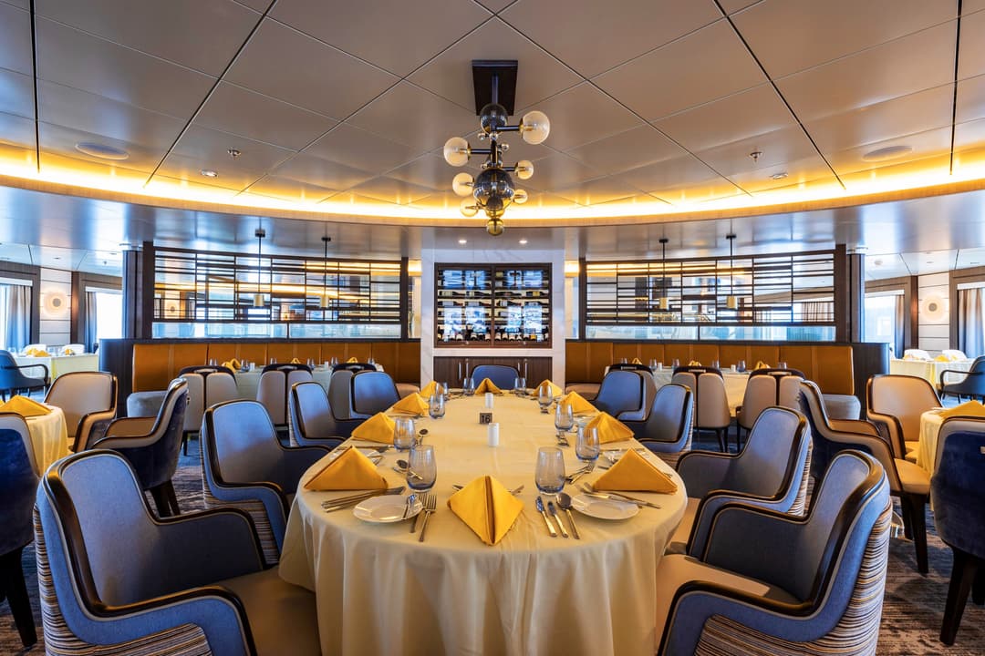
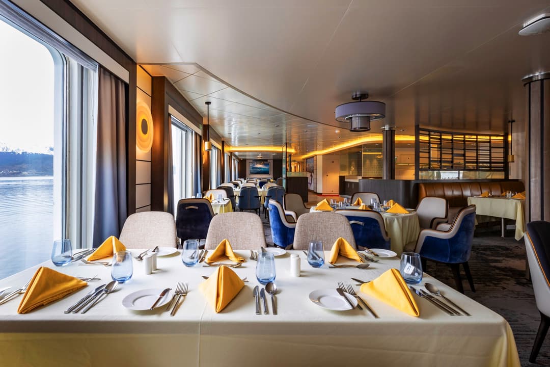
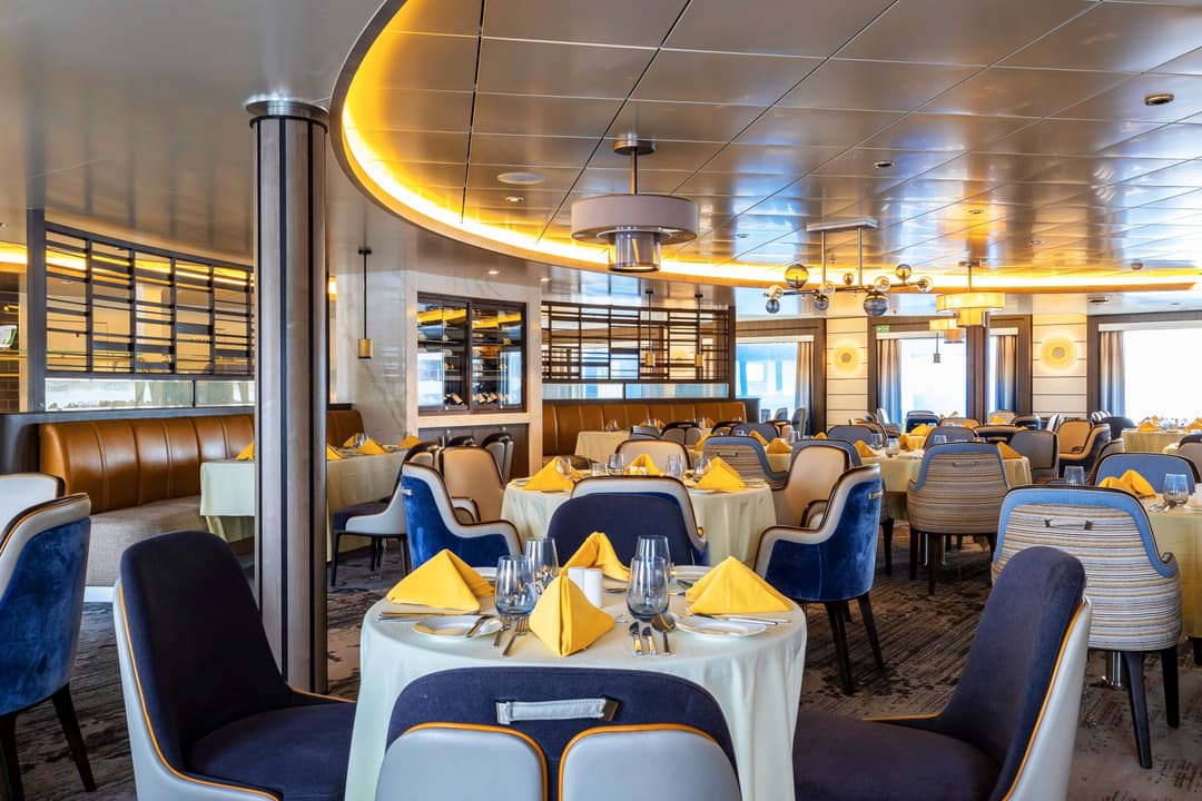
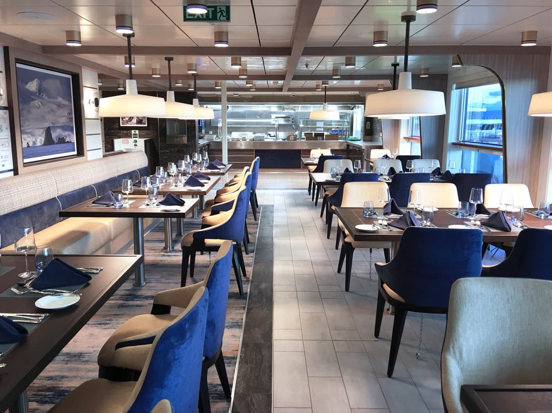
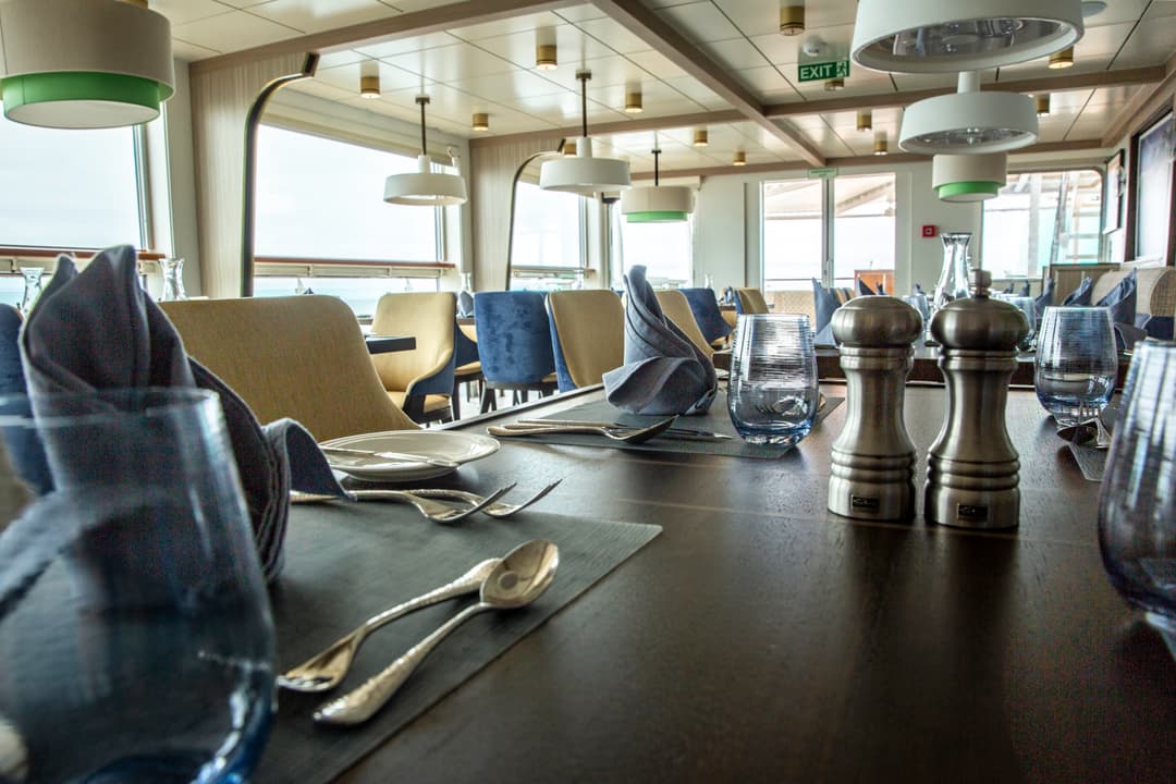
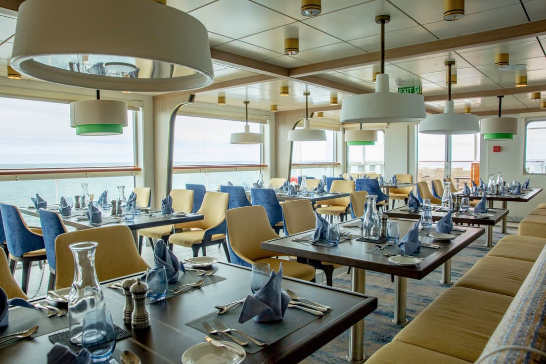
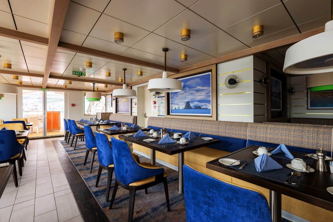
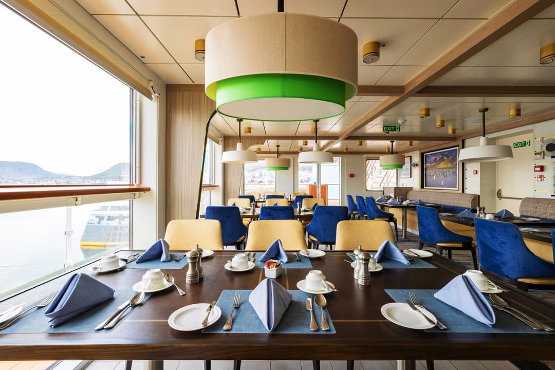
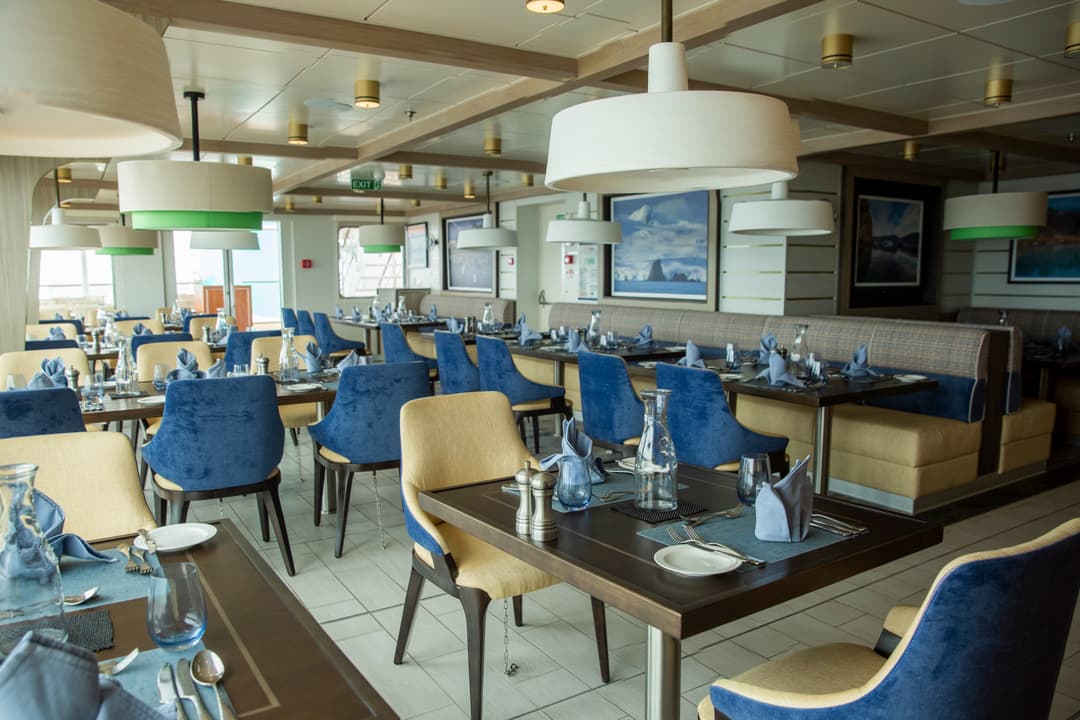
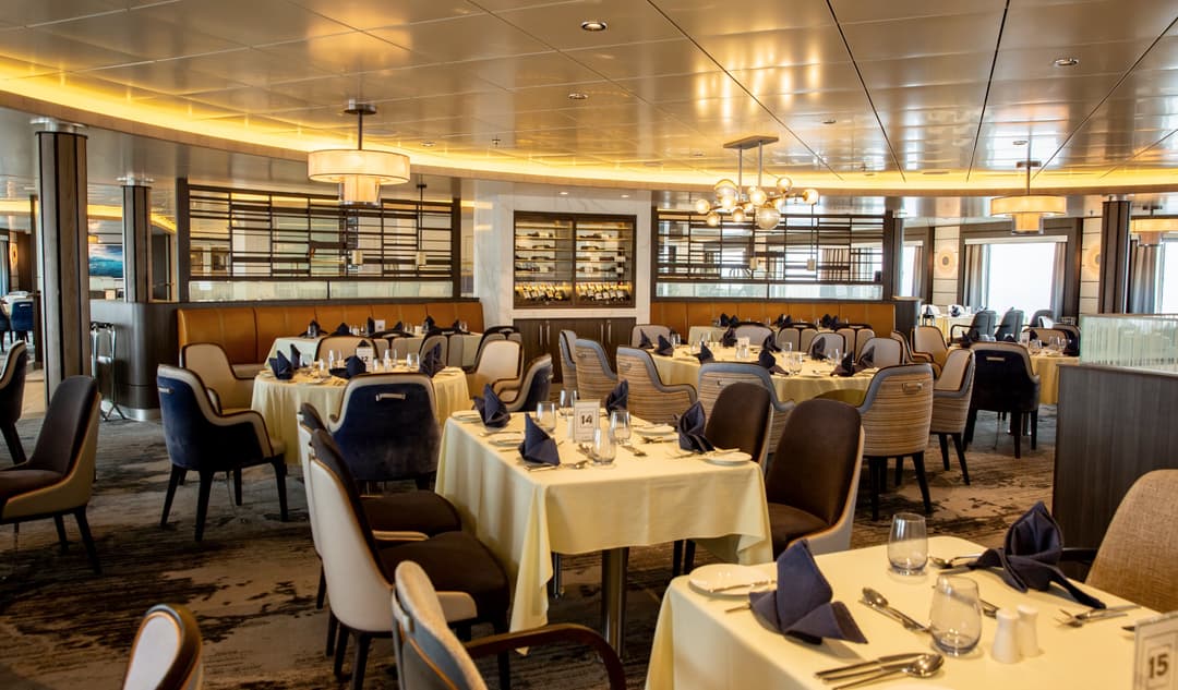
Whatever adventures the day holds, you will be fuelled-up with hearty meals and delicious morning and afternoon teas cooked by our onboard chefs.
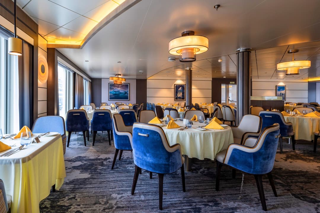
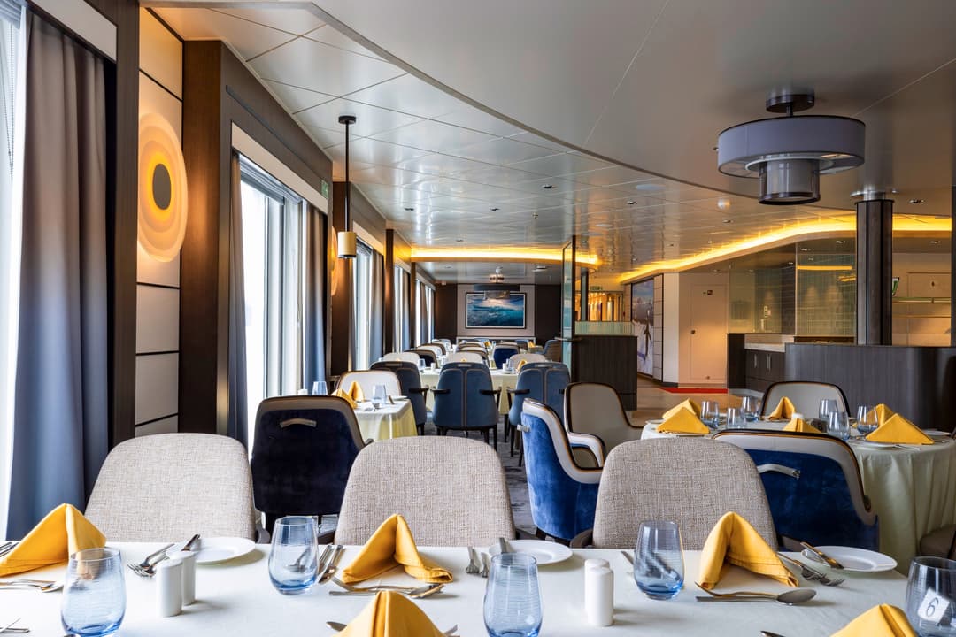
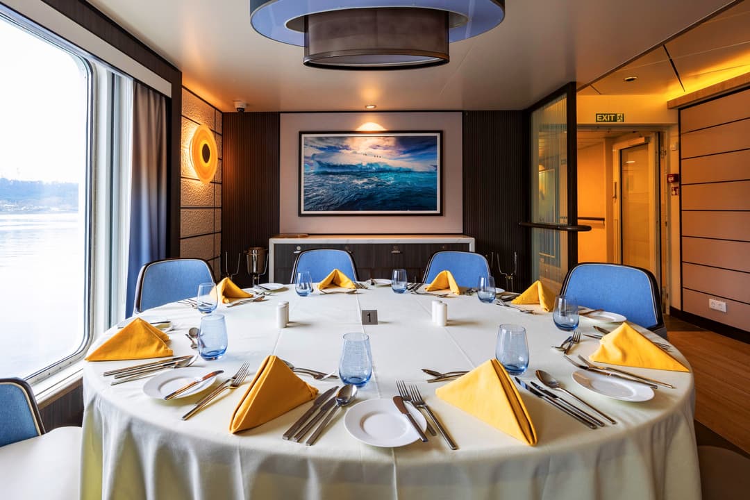
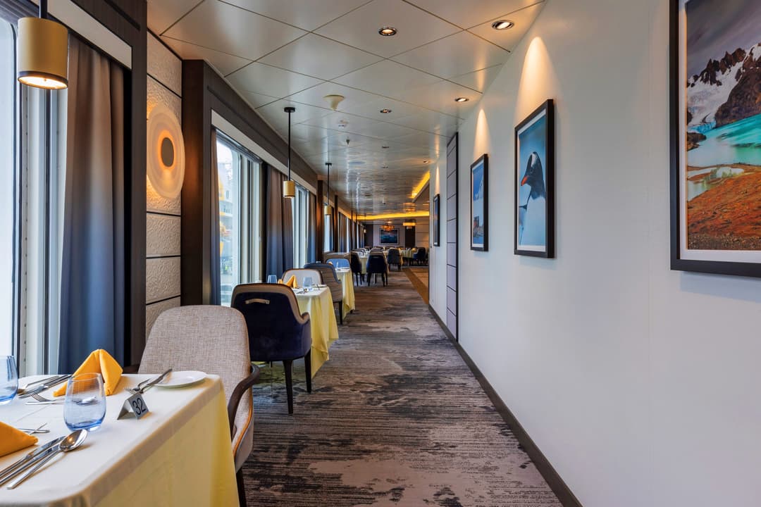
Meals are a great time to soak up the expedition camaraderie in our open seating dining area. Share stories with your fellow travellers and ask our expedition team questions that may have come up during the day.
Tea, coffee, and snacks are available 24 hours a day, and our chefs offer dif....
When you’re relaxing during a sea day or you have a little downtime on the ship between excursions, what is there to do onboard the Sylvia Earle? Plenty!
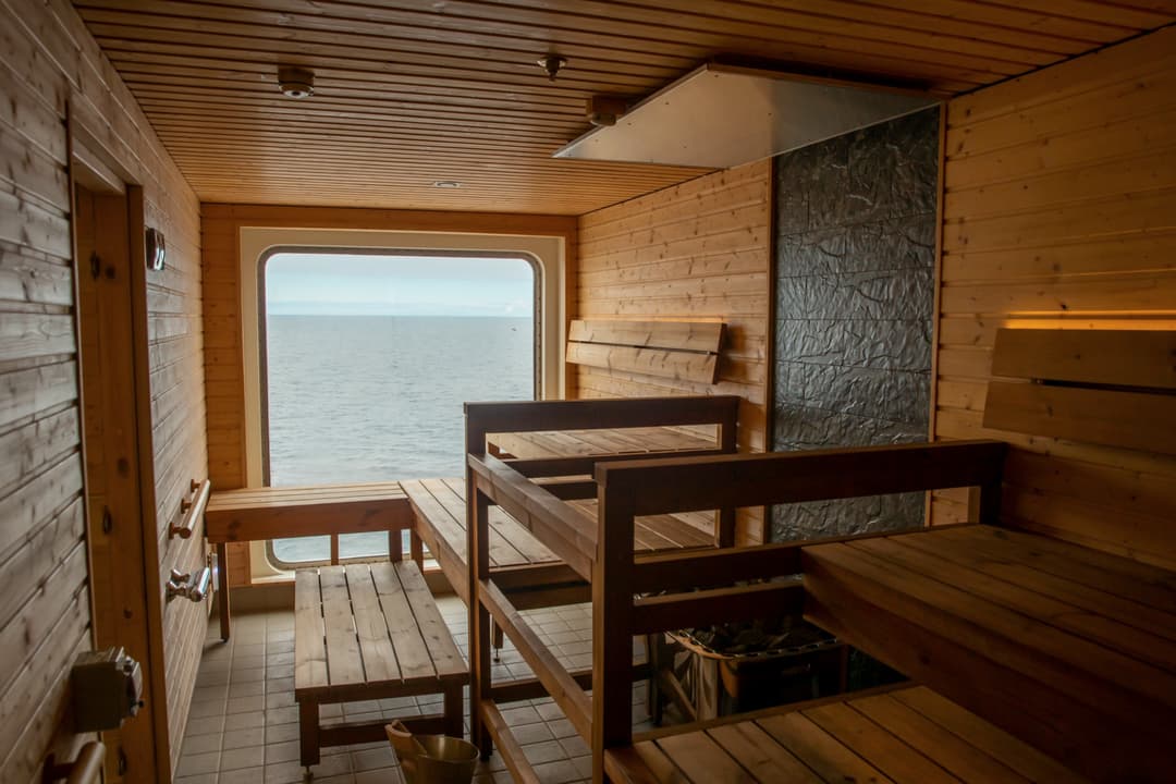
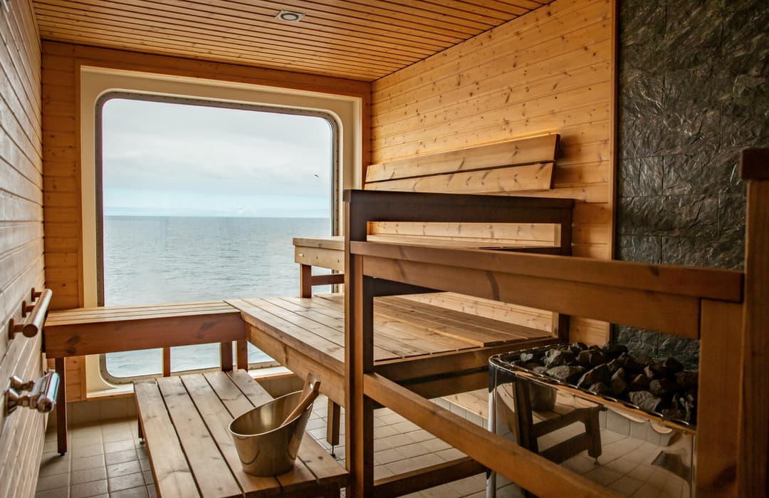
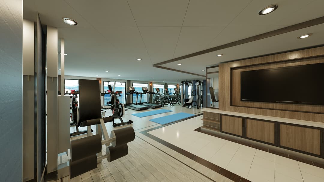
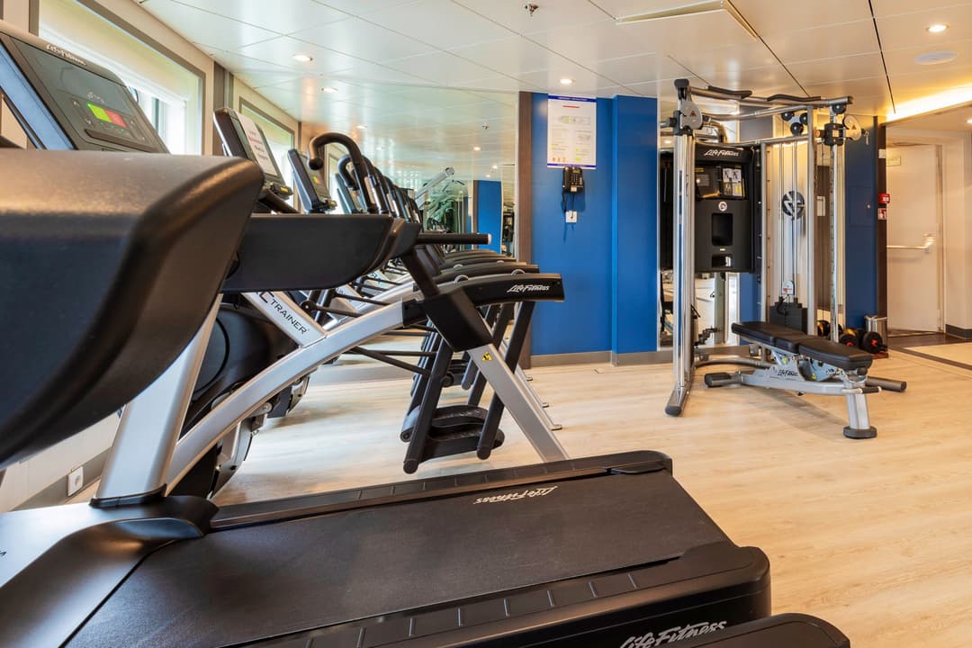
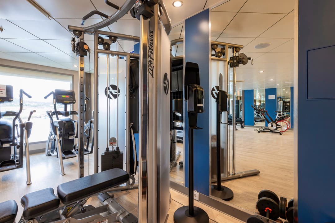
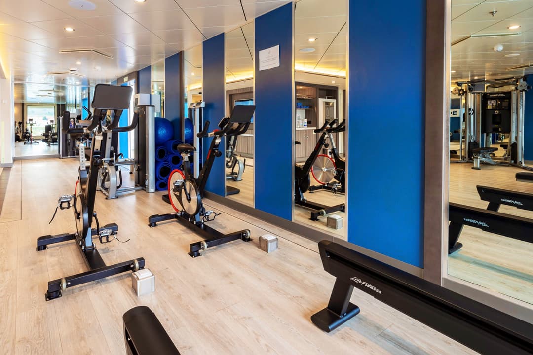
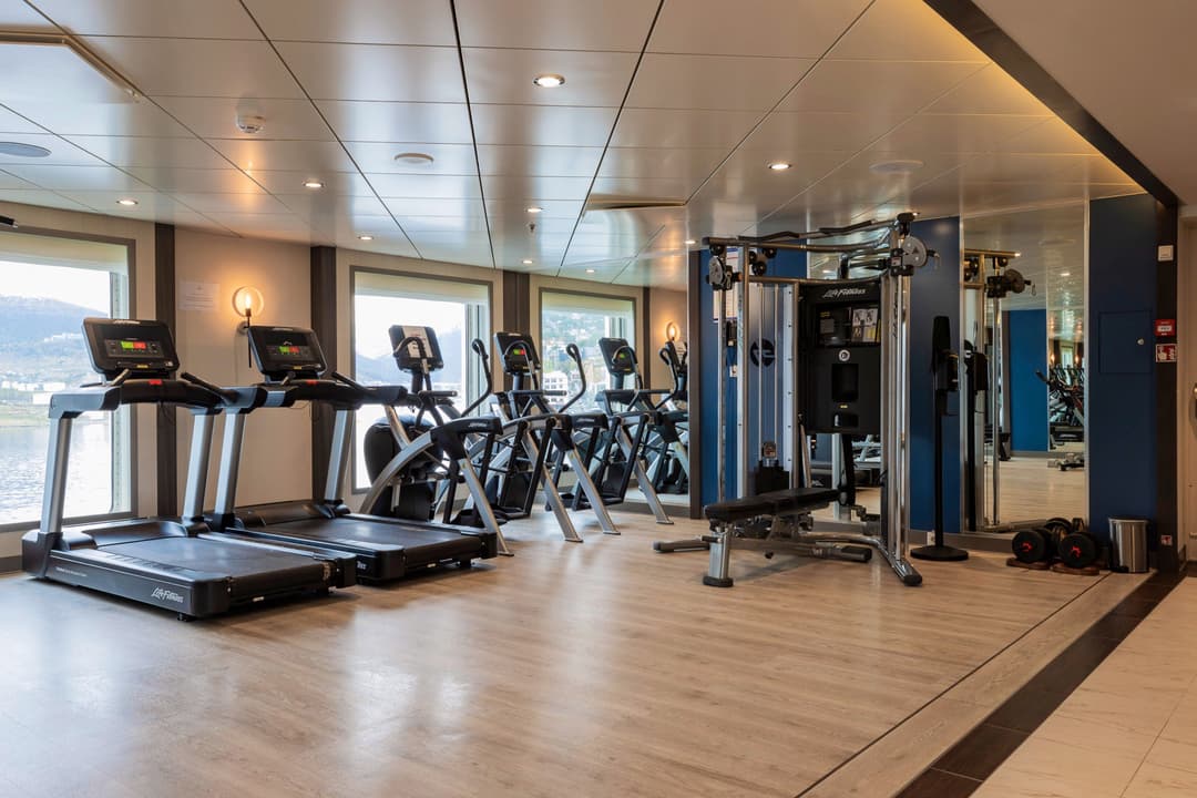
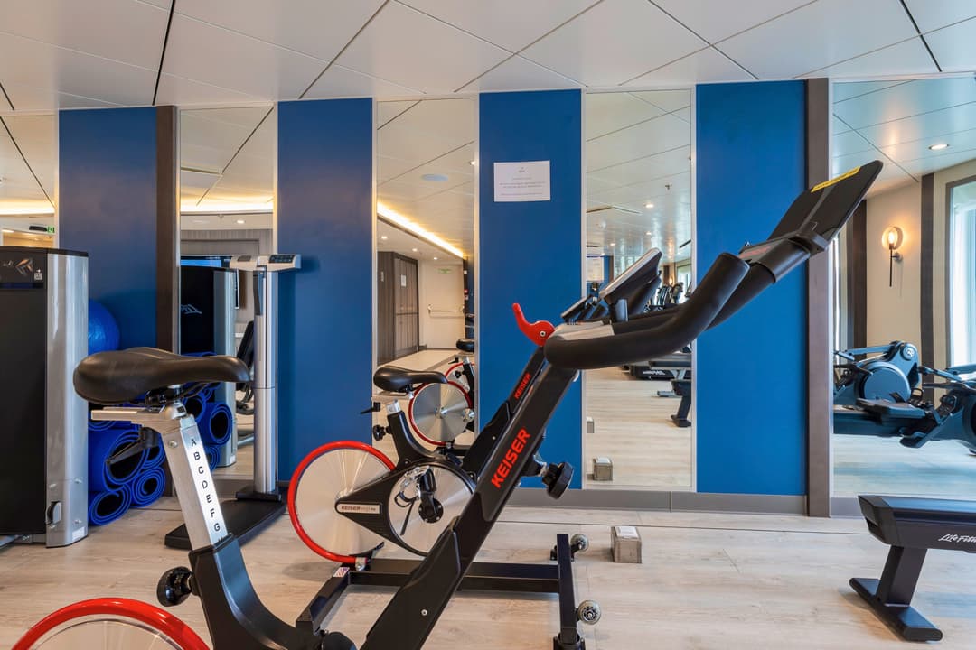
The Sylvia Earle is also decked out with other facilities for your enjoyment. There is a library on Deck 5 with books and maps and a Wellness Centre complete with gym equipment, sauna and spa. Feeling a little sore after walking around all day? Treat yourself to a massage at the Wellness Centre and feels the aches disappear!
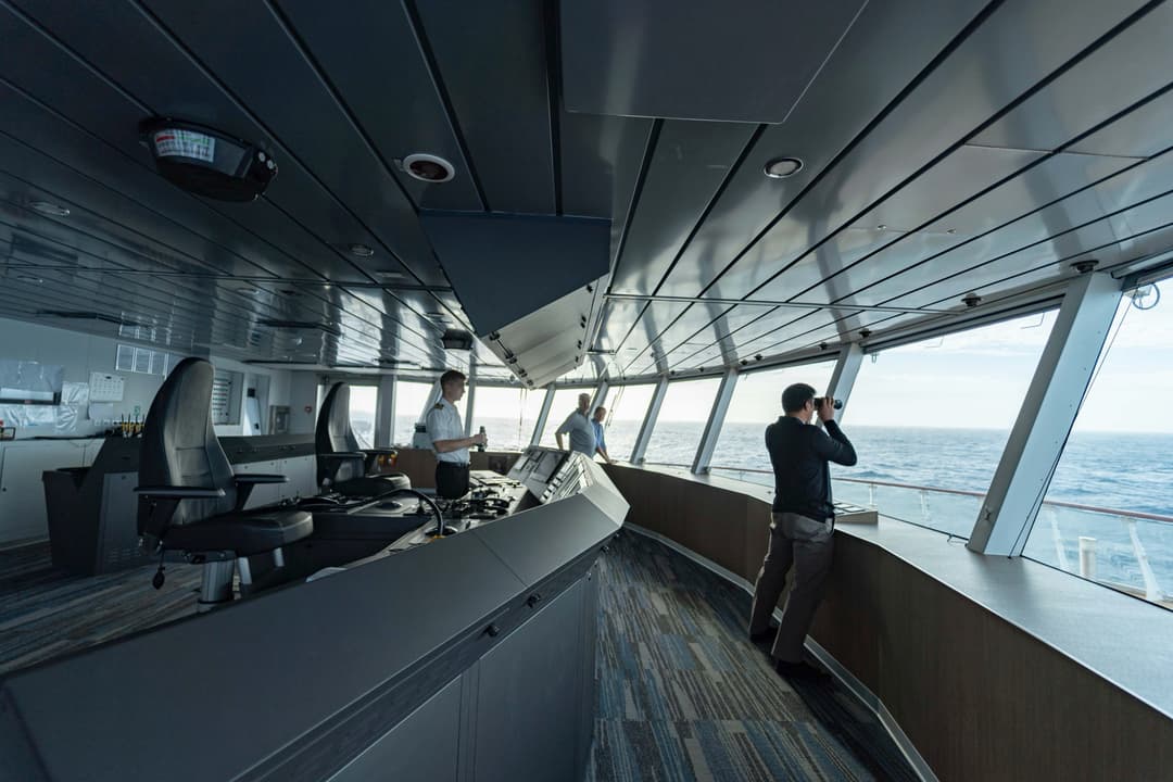
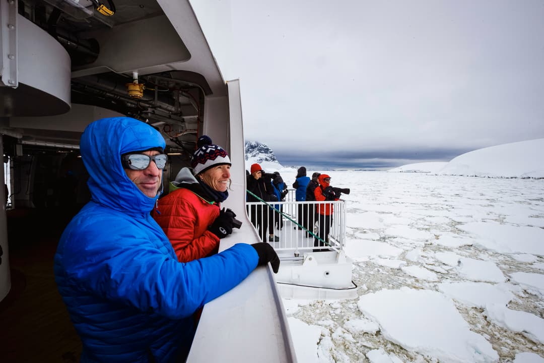
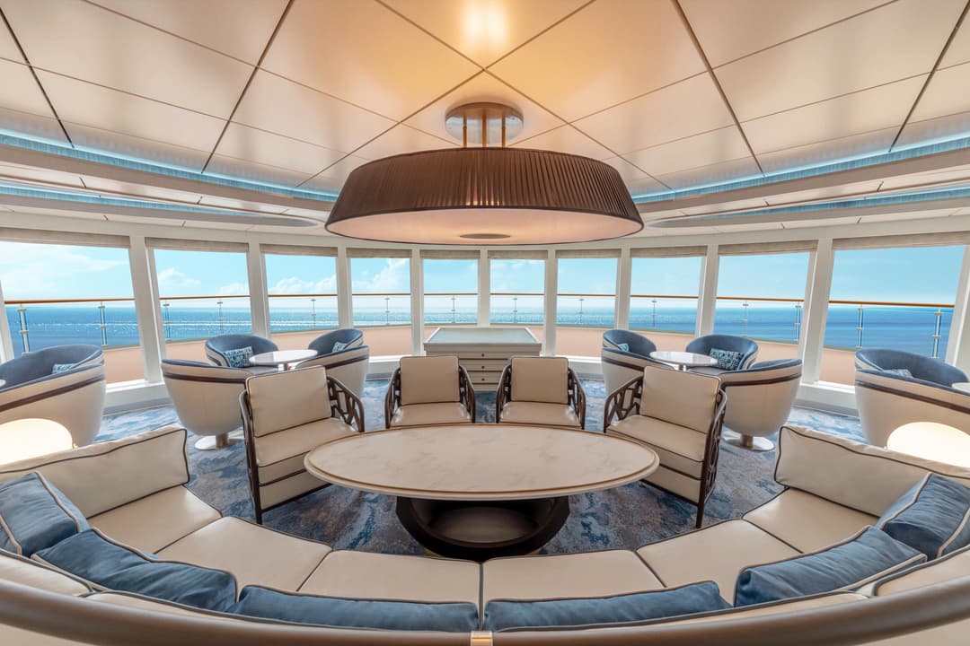
Let's face it – you don't want windowless rooms when travelling around some of the most beautiful locations around the world. This is why the Sylvia Earle is designed with plenty of dedicated observation spaces – ideal for keen bird spotters, wildlife watchers and those wanting to watch the scenery go past.
From the indoor 180-degree lounge and outdoor 360-degree open deck, both on deck 8, to the 270-degree open sundeck on level 7, there....

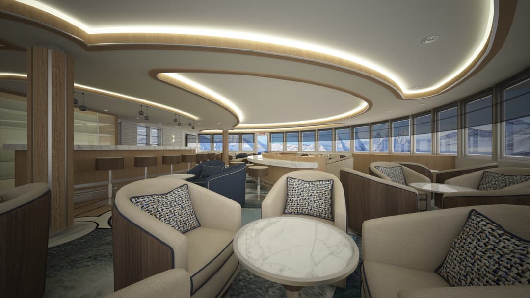
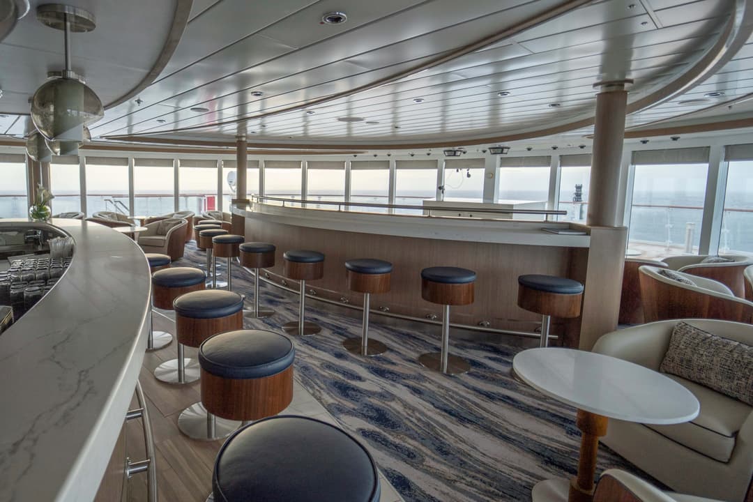
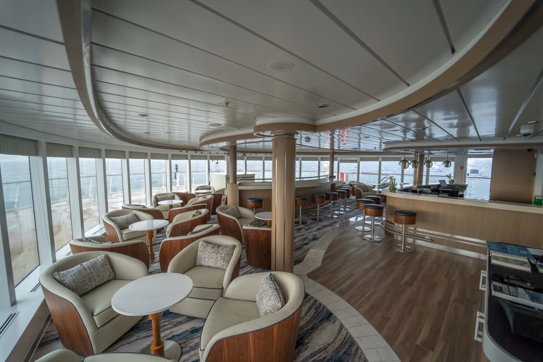
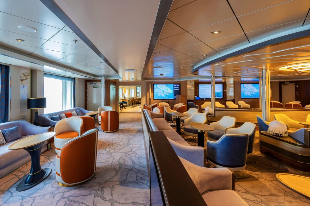
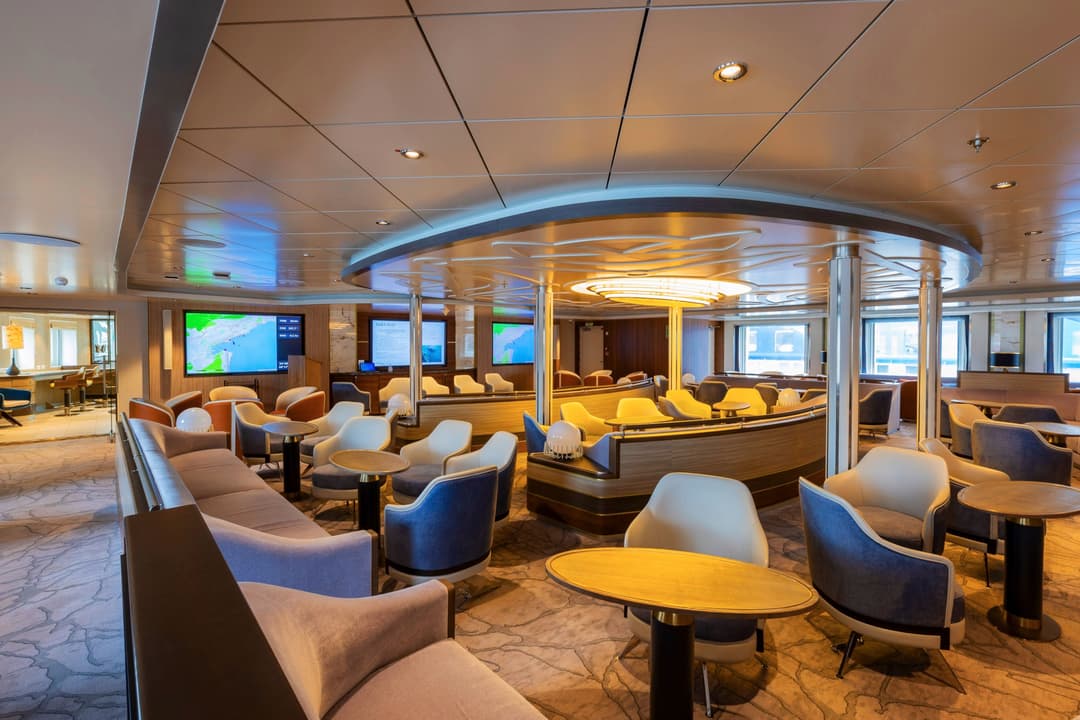
Communal meeting areas have always played a major role in fostering the warm camaraderie on board our ships. They are the heart of the expedition, where people meet to share tales from the day, swap photos, keep an eye out for wildlife and watch the sun go down.
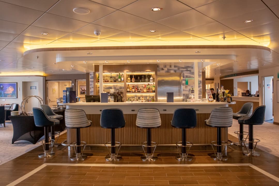
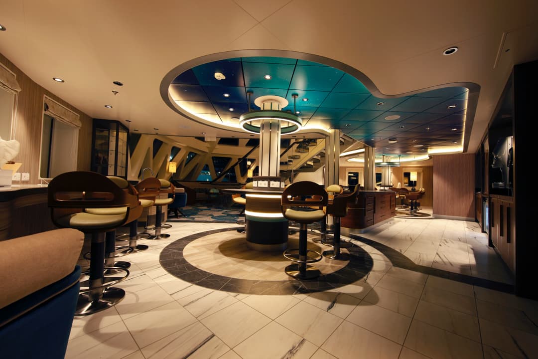
The bars and lounges on board are refined yet inviting places to gather, with floor-to-ceiling windows offering stunning views, and of course friendly bartenders to shoot the bre....
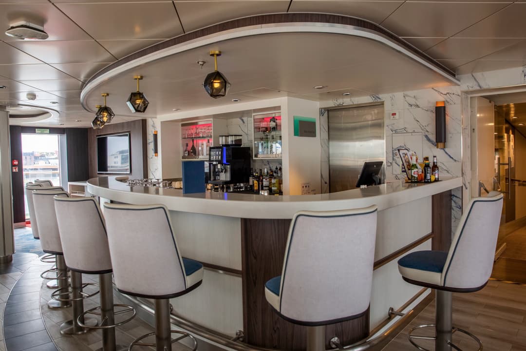
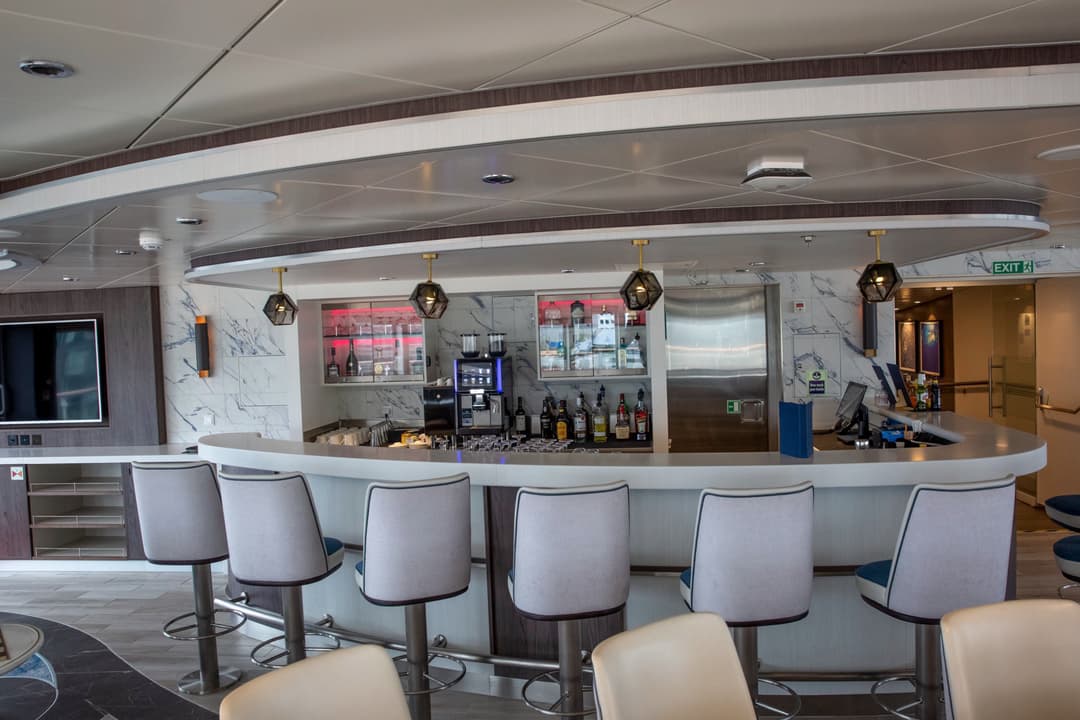
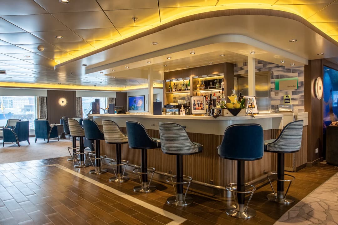
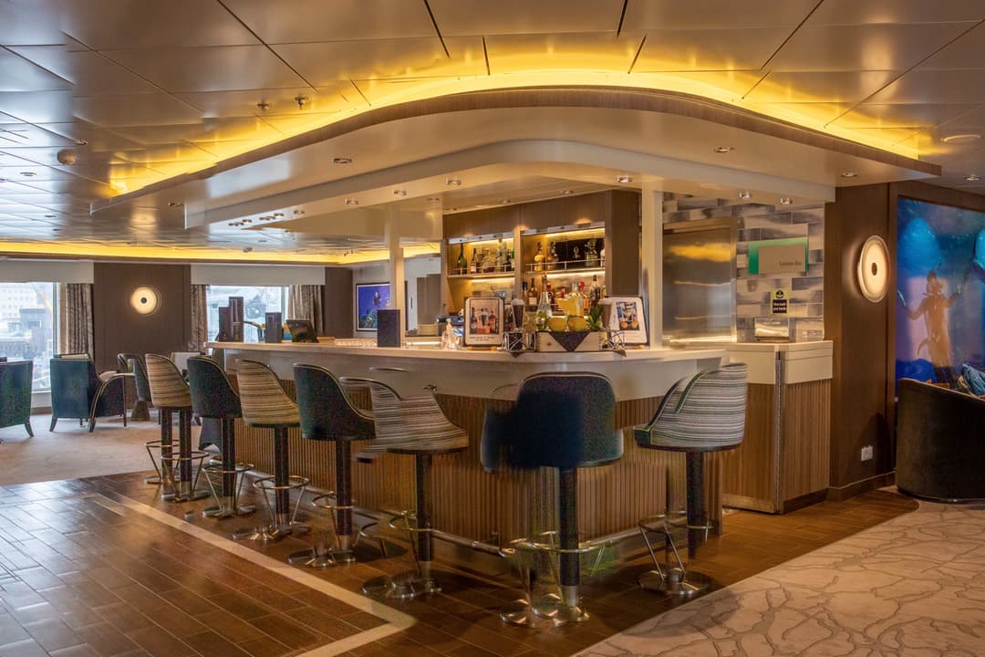
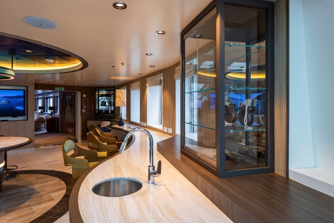
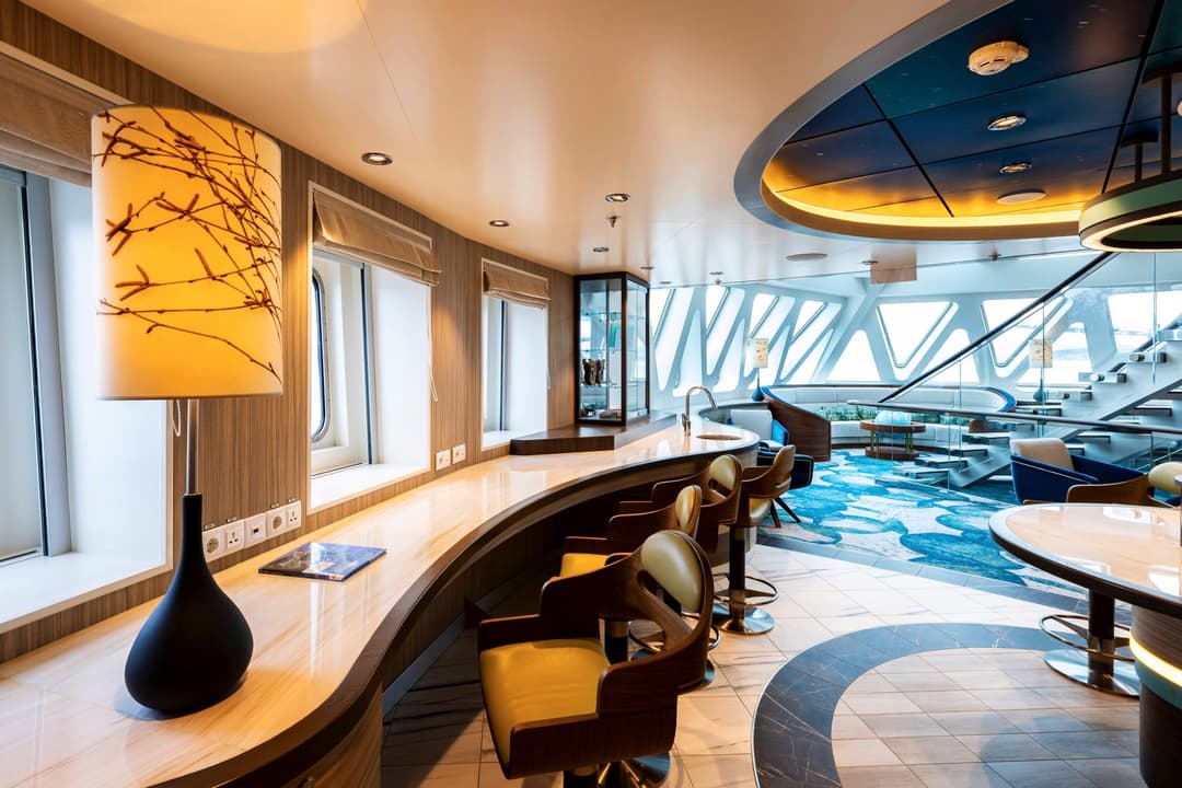
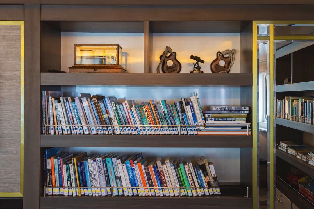
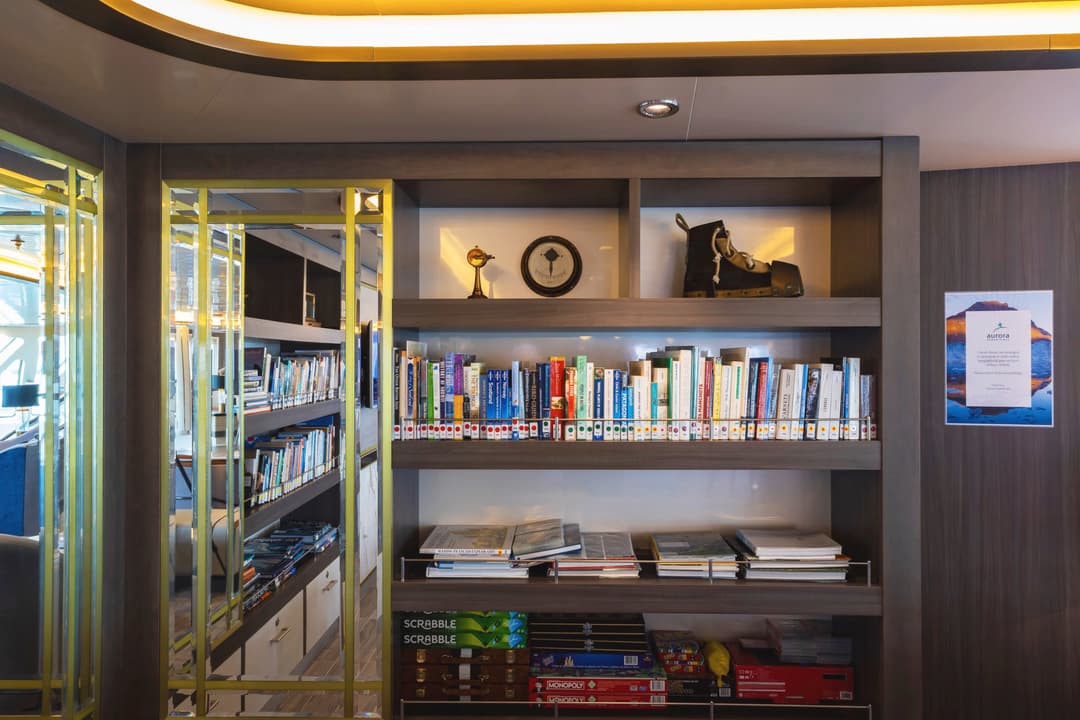
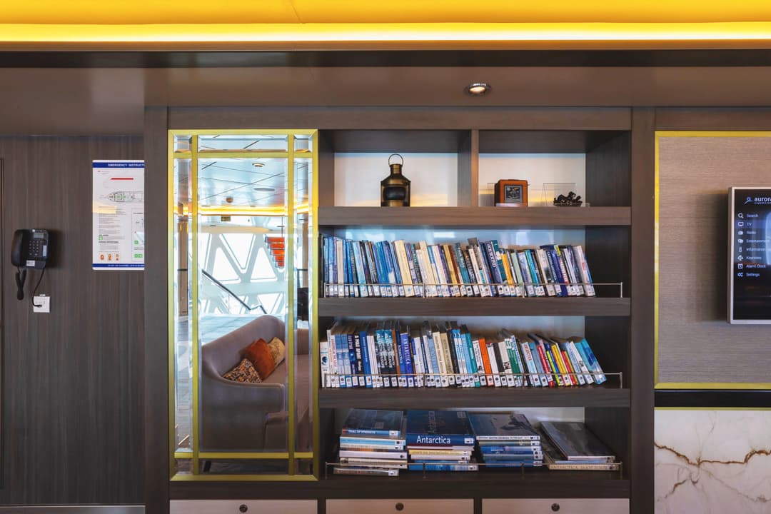
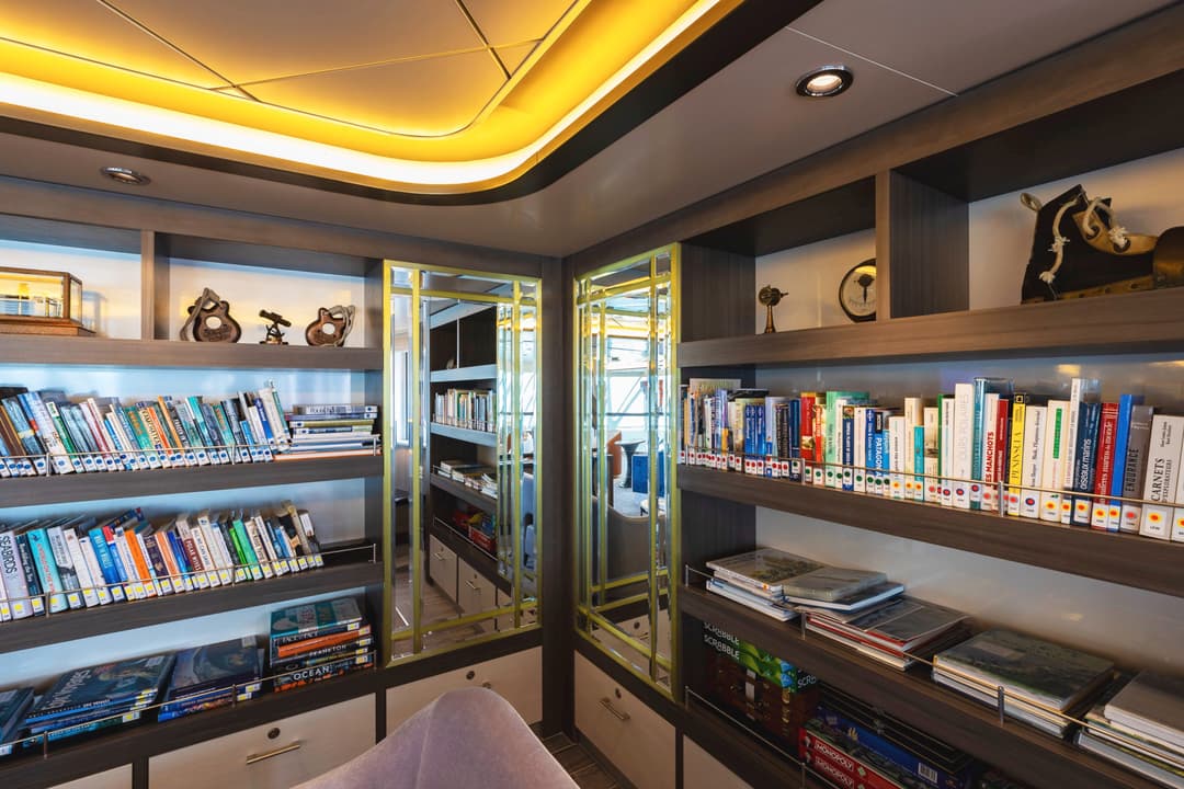
With floor-to-ceiling windows, the library is a peaceful sanctuary where you can find non-fiction books to read up on the day’s destinations, plug in and organise your photos or play board games with newfound friends.
Choose from our range of informative non-fiction titles, wildlife guidebooks, travel journals, novels and a selection of children’s books and board games.
Wildlife guides, books and binoculars can also be found on the....
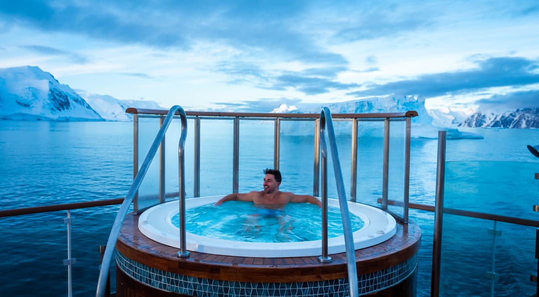
There is a Wellness Centre complete with gym equipment, sauna and spa. Feeling a little sore after walking around all day? Treat yourself to a massage∘ at the Wellness Centre and feels the aches disappear!
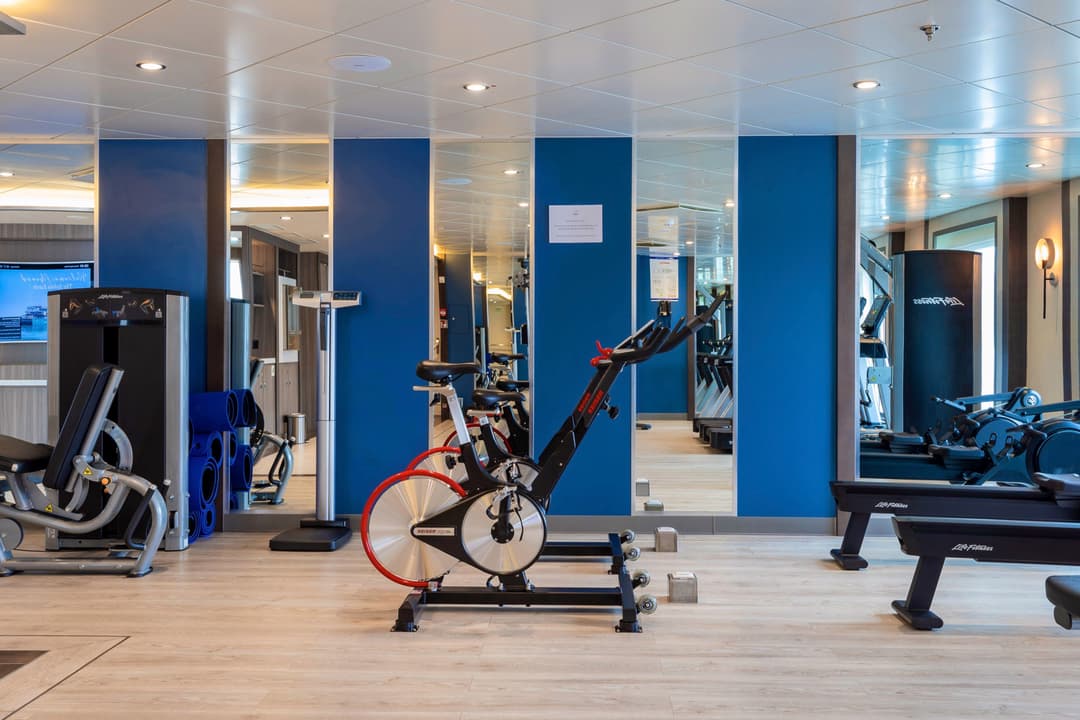
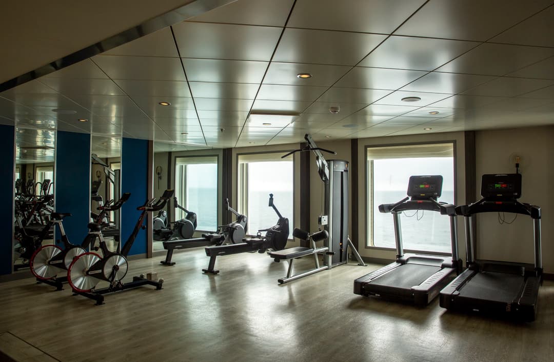
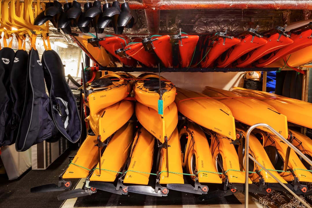
One of the great benefits of travelling with AE Expeditions is the number of optional activities that you can participate in. From kayaking and skiing to diving and climbing, these are one-in-a-lifetime opportunities that you need to take advantage of.
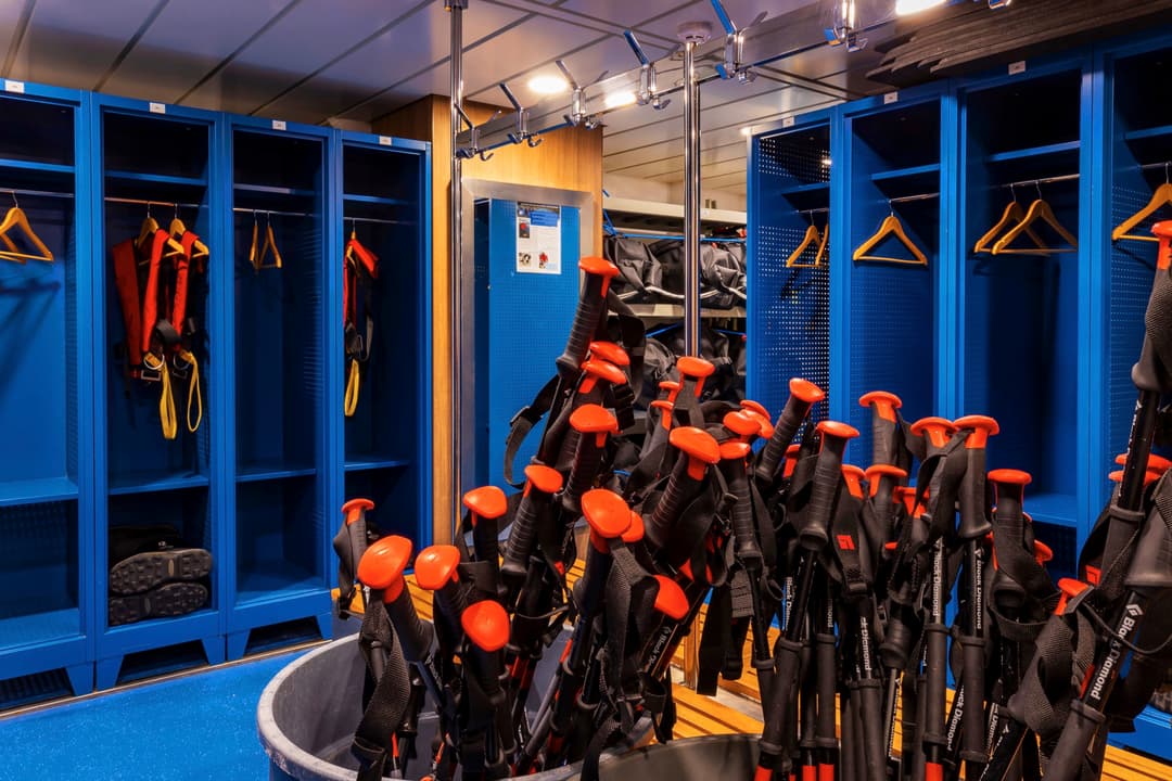
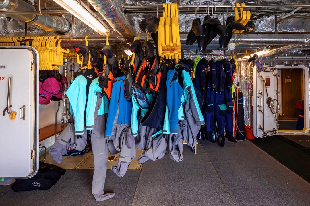
Aboard the Sylvia Earle there is a specially designed launching platform for all activities, a concept overseen by our activity experts. This area also includes individual lockers in the expansive mudroom and rapid drying areas for wetsuits so you can quickly get warm after exploring in the elements!
Loading...
Travel is always the best educator and we offer the chance to enrich your curiosity and expand your knowledge and understanding of the places we travel to. There is no better learning opportunity than being in the field with subject matter experts.
Our Citizen Science Program is designed to be an interactive forum of like-minded travellers to share new discoveries and deepen their connection to the natural world in a relaxed, informal an....
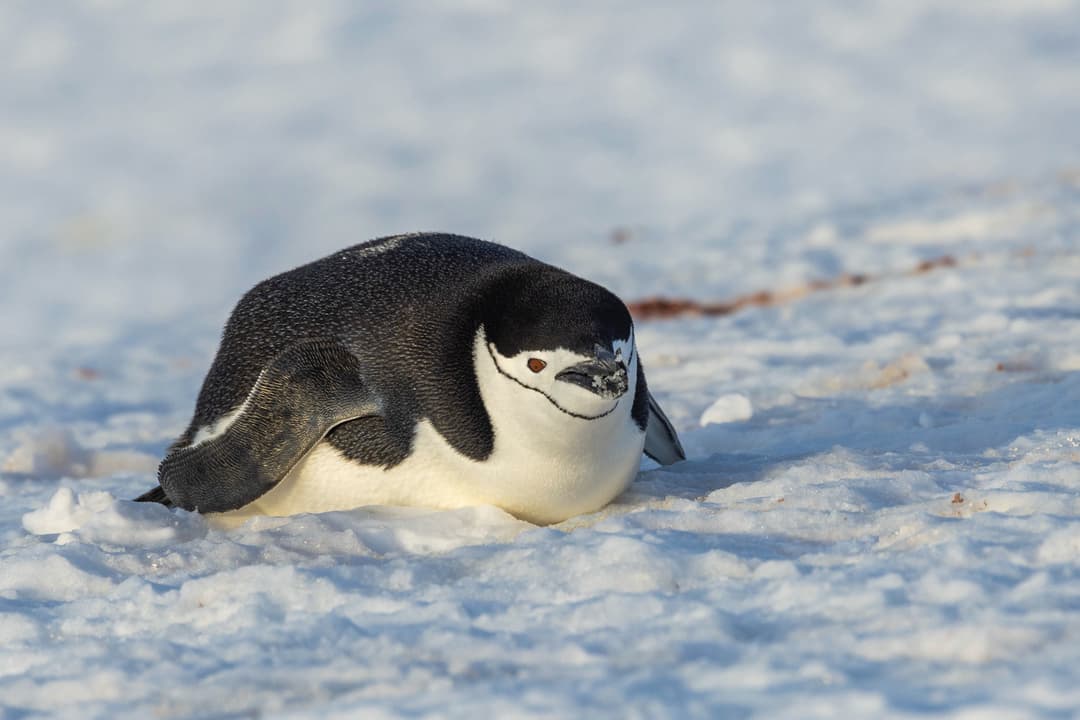
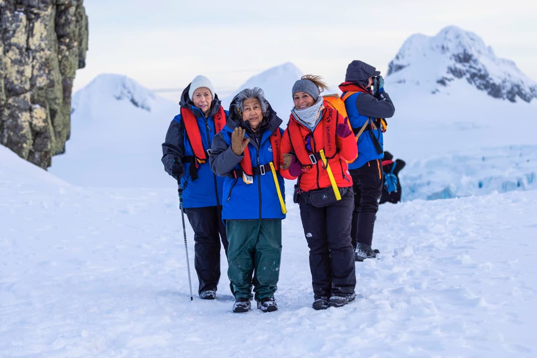
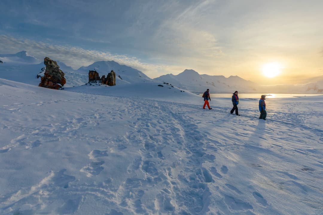
Although the ship is fun, the real enjoyment comes from the many shore excursions that are available. Depending on weather conditions, it may be possible for multiple landings, taking a look at everything from rock formations and ancient ruins to cute groups of penguins. We know time is of the essence in these wild locations, so the Sylvia Earle has been designed to carry 15 Zodiacs, which means you can maximise your time on shore.
From ....
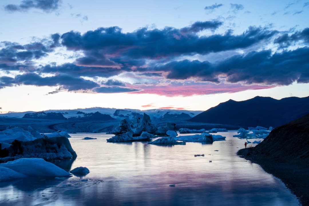
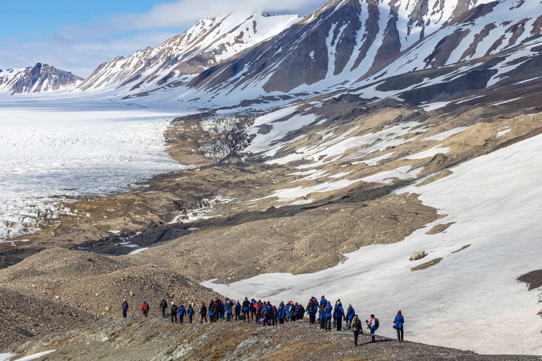
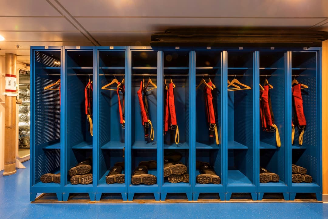
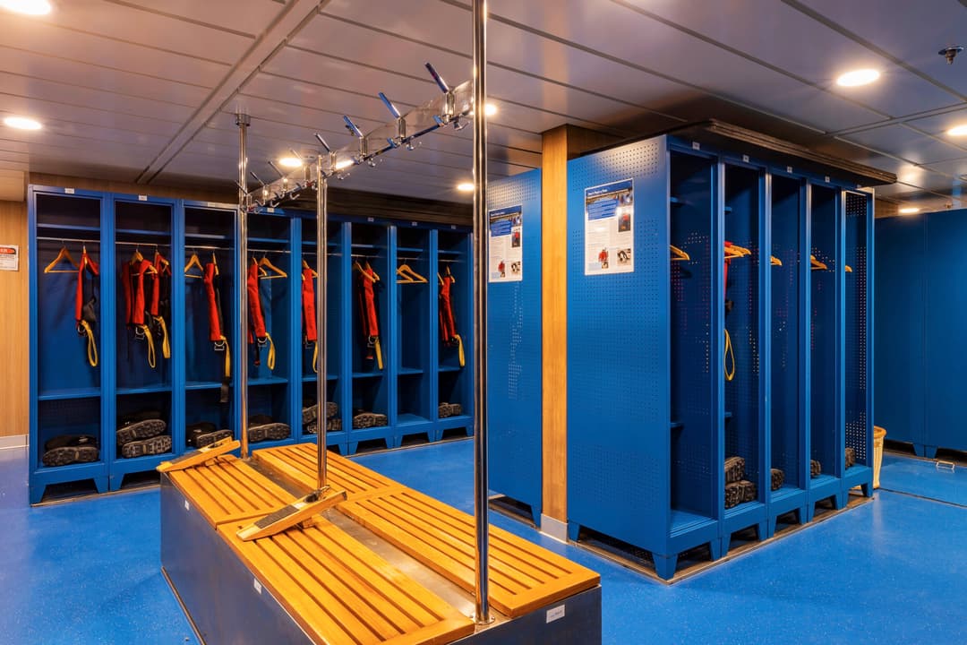
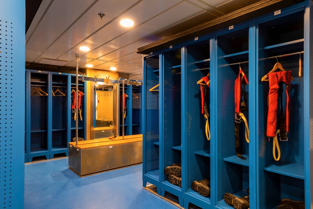
Zodiacs are a vital part of getting up close and personal on your adventure – sneaking into areas that the Sylvia Earle can't reach. On this new ship, there are specially designed launching platforms that enables us to load Zodiacs easily and quickly, allowing you to spend more time exploring on the two to three daily landings.
There are 15 Zodiacs that are boarded from either side of Deck 3 (sea level), perfect for when there is a group....
There are no dedicated children's facilities onboard the Sylvia Earle.
Shipboard clothing is informal and casual Jeans, jumpers and long-sleeved shirts are ideal for indoors in the polar regions; however be sure to keep your jacket close for unexpected wildlife sightings! Some people∘ like to take a nicer outfit for the captain's welcome and farewell drinks but formal clothing is not necessary. For health and safety reasons, we do request you wear enclosed shoes in public areas while on board the ship. AE Expedit....
Medical Form
It is compulsory for each passenger to return a signed medical from their general practitioner. Your Medical Form is required to be signed by your general practitioner and returned to AE Expeditions no later than three months and no earlier than six months before your voyage departure date.
If you become aware of any change in your health and fitness that may be likely to affect your participation on the trip (e....
Standard Inclusions
We offer a number of standard inclusions on our voyages. Please see full list below:
- Fully-serviced accommodation in your chosen stateroom or suite
- Daily shore excursions, guided walks, Zodiac cruises and some activities^
- Entry fees to historic or tourist sites
- An experienced team of destination specialists, activity leaders, and local guides*
- An informative and entert....
When packing for your holiday, do you have trouble deciding between what to take versus leave at home? If so, you’re certainly not alone – it can be tricky deciding what makes the cut into your luggage.
Of course, what often helps is knowing the environment that you’re entering into. With Antarctica and the Arctic – known as the coldest, most isolated and remote landscapes in the world – there might be a tendency to pack your suitcase wi....